Cities push back on FEMA flood maps as climate risk reshapes real estate

Mapping battles, local politics, and rising water
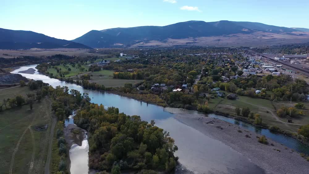
When a Montana town successfully appealed to move neighborhoods off federal flood maps this year, it showcased a growing nationwide trend: communities are challenging the Federal Emergency Management Agency’s (FEMA) designations that dictate insurance costs, building rules and even home values. On Sunday, new reporting highlighted how cities from the Mountain West to the Gulf Coast are mounting technical and legal campaigns to redraw the lines. Local officials argue that outdated hydrology, recent mitigation projects, or improved drainage systems aren’t reflected in current maps. Homeowners, facing steep premiums and resale headwinds, are lobbying hard—turning what was once an esoteric planning tool into a political flashpoint.
Supporters of the appeals process say FEMA’s framework allows for science-based updates, especially where levees, culverts and retention basins have been added since the last survey. But critics warn that removing parcels from high-risk zones can send a dangerous signal, sparking complacency as climate-driven extremes intensify. The collision of actuarial math and neighborhood activism is producing uneven outcomes: some requests succeed with robust engineering data; others fail when models show residual risk that local measures can’t erase.

Climate math versus local reality
The stakes are rising as warmer air supercharges storms and expands the geography of flood risk. Inland communities once considered safe now see “sunny day” drainage backups and cloudburst flooding that overwhelms storm sewers. Meanwhile, coastal towns face compound threats from sea-level rise, king tides and stronger hurricanes. Insurers, still nursing losses from recent disasters, are retreating or raising rates—leaving the National Flood Insurance Program (NFIP) as a crucial backstop that increasingly prices climate risk into mortgages.
Cities are experimenting with carrots and sticks: stricter elevation requirements for new builds, buyouts in repetitive-loss zones, green infrastructure to absorb runoff, and disclosure rules so buyers know a property’s flood history. Yet a core tension remains. Mapping that reveals broader exposure can depress values and tax receipts, tempting leaders to push for appeals. Conversely, accepting the higher-risk diagnostics can keep premiums high but may avoid catastrophic losses later.
Engineers say the best outcomes marry local projects with transparent data: publish the model assumptions; show where levees protect and where they don’t; and tie any map change to maintenance obligations so protections don’t quietly degrade. For homeowners, the immediate question is affordability—both of insurance and of retrofits like elevating utilities or adding backflow valves. For lenders and developers, the question is underwriting: who bears tail risk as extreme precipitation records fall and the cost of capital rises for vulnerable geographies?
As these fights play out, one constant is emerging. Whether or not a block gets shaded blue on a federal map, adaptation is no longer optional. From zoning to stormwater fees, cities that treat flood maps as a living document—updated with real rainfall, not yesterday’s climate—will be better positioned to keep neighborhoods habitable and insurable in the decades ahead.